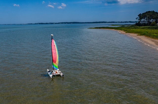
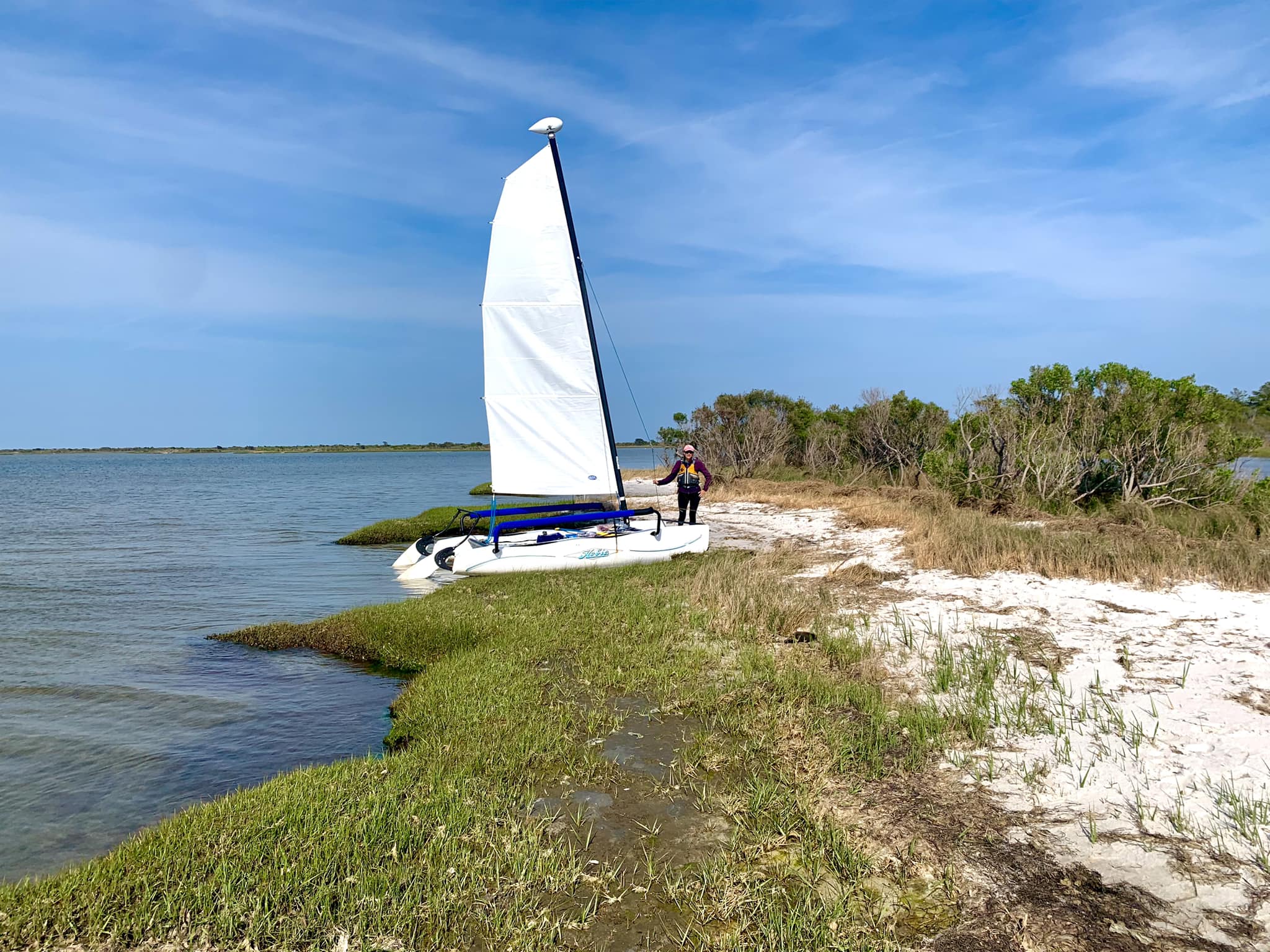
One benefit of owning a small, trailerable, easy to rig sailboat is how many places you can explore in our area. No need to ply the same waters over and over. A gently sloping shoreline and a body of water open enough to catch a breeze are about all you need to satisfy your inner Ferdinand Magellan.
Here are a few of our favorites:
- Lewes Boat Ramp at Roosevelt Inlet near Lewes
- New Road, Delaware Seashore State Park, (Off of Rt 1 south of Dewey)
- Holt’s Landing State Park
- Assawoman Wildlife Area (AWA)—Sassafras Landing
- AWA—Mulberry Landing
- 64th Street Ramp—Ocean City
- South Point Boat Ramp, near Assateague
- Public Landing Boat Ramp, east of Snow Hill
- Cedar Hill Marina at Bivalve, MD
- Janes Island State Park at Crisfield, MD
- Franklin Street Boat Ramp, Cambridge, MD
- St. Michaels, MD Boat Ramp
- Wenona Boat Ramp at Deal Island, MD
Lewes Boat Ramp at Roosevelt Inlet near Lewes
Boats we’ve launched here:
- Hobie Wave
- Flying Scot
- Rhodes 22
With six ramps and a big parking/staging area, the Lewes Boat Ramp is a huge facility.. The tidal current can be significant though, so if you don’t have a motor, study the tides carefully. And when coming back on an incoming tide, stay on the north side of the inlet so you can ride the current to the dock versus getting caught in the current heading south into downtown Lewes. This launch gives you access to the Delaware Bay and the Broadkill River.
On a 10-15 mph SE breeze, we launched the Hobie and sailed to the point at Cape Henlopen. We went out at the end of low tide and stayed out long enough for the tide to switch. Without the current helping us, even though we had a great captain, I don’t know if we could have made it back to the dock.
Last fall we launched our Flying Scot here. It was a little too windy on the open bay, so we stayed on the Broadkill and made it to Oyster Rocks before it narrowed to a point we’d be tacking every thirty seconds.
Click here for Lewes Boat Ramp google map. And click here for ramp fees and rules. (The ramp rules are a little vague. The way I read it is, if you have a motor, even electric, you’re supposed to register your boat with DNREC. If it is registered out of state, you’ll need a Tidal Access Boat Ramp Certificate. So if you don’t have a motor, neither of these apply.)
New Road, Delaware Seashore State Park, (Off of Rt 1 south of Dewey)
Boats we’ve launched here:
- Hobie Wave
The New Road access in Delaware Seashore State Park is a sandy beach and, if you can find an open spot among the parked cars, swimmers, and sun bathers, is probably the best place to launch a catamaran in our area. The Rehoboth Bay is wide open here—over three miles across and five miles long. The sand at the launch can be soft in places, but we’ve never used a 4WD.
We launched here on a west wind day and sailed to Dewey, Thompson’s Island, and the mouth of the Rehoboth Canal. We finished our trip by slumming around the canals near the Rehoboth Beach Country Club.
All wind directions are good here, but south and north are the best for getting off and back to the beach.
Click here for a Delaware Seashore State Park – New Road launch google map. Parking fees (as of 2025) at New Road are $8 for in-state and $10 for out-of-state vehicles. No charge if you have a DE state parks pass.
Holt’s Landing State Park
Boats we’ve launched here:
- Hobie Wave
- Capri 16.5
Holt’s Landing State Park has two ramps and a decent-sized staging area. It faces north, and once launched, you’re sailing in Indian River Bay, which is surprisingly shallow. It’s best for the shallow-draft, kick-up rudders of the Hobie. However, at mid and high tide, a boat with a centerboard will work.
Our most memorable trip from Holt’s Landing was on a south wind We sailed past Burton’s Island to the Massey’s Landing area and around the Cedar Islands. You can read about that trip here.
Click here for a Holt’s Landing State Park google map. Parking fees (as of 2025) at Holt’s Landing are $8 for in-state and $10 for out-of-state vehicles. No charge if you have a DE state parks pass.
Assawoman Wildlife Area (AWA)—Sassafras Landing
Boats we’ve launched here:
- Hobie Wave
Sassafras Landing’s launch on Miller’s Creek is a gently sloping beach. Although we’ve launched our Hobie here many times, the tree-lined shoreline can make getting back challenging, especially on a south wind. (When I’m at the helm, we usually have to paddle the last fifty yards.) Sailing down Miller’s Creek and south through The Narrows will put you in Little Assawoman Bay.
With the undeveloped shoreline on both sides of Miller’s Creek, it is a beautiful place to sail. Our last trip was on a gusty SE wind day. We sailed around the tip of AWA to Point of Cedars Island, then around the remnants of Seal Island and back. It was a perfect day!
Click here for a Sassafras Landing google map. If you are boating, there is no fee to use Sassafras Landing. Otherwise, you’ll need a conservation pass.
AWA—Mulberry Landing
Boats we’ve launched here:
- Rhodes 22
- Flying Scot
- Capri 16.5
Mulberry Landing has one ramp, floating docks, and a large parking/staging area. If you have a boat with a centerboard and want to sail in Little Assawoman Bay, this is your launch. You’ll be in the largest part of the bay and, as long as you are a decent distance from shore, you don’t have to worry about surprise shoals, although sandbars stretch from points along the shoreline, especially the eastern shore. From here, you can sail to Point of Cedars Island, Fenwick, and up Dirickson Creek.
Click here for a Mulberry Landing google map. If you are boating, there is no fee to use Mulberry Landing. Otherwise, you’ll need a conservation pass.
64th Street Ramp—Ocean City
Boats we’ve launched here:
- Hobie Wave
- Rhodes 22
- Flying Scot
- Capri 16.5
The 64th Street Boat Ramp in Ocean City has two nice, new ramps and a decent-sized parking/staging area. We’ve only used it off season during the week. I’d imagine the parking area fills up quickly during the summer.
If you don’t have a motor, pick your days to launch here as you have to navigate a canal which leads to Assawoman Bay. It is short, but an east or west wind would make it tricky.
This launch puts you in the southern part of Assawoman Bay, just north of the Rt. 90 bridge.
We’ve sailed here so many times. We’ve watched golfers at Lighthouse Sound, sailed to BJ’s for lunch (when it was still around), sailed under the bridge to Seacrets (the Hobie Wave mast clears the bridge under the spans on either side of the channel), sailed past Northside Park up to the north end of the bay to the Pointe at Bayside and to explore the countless small islands. Read about one of our trips here.
Click here for a 64th Street Boat Ramp google map. While there isn’t a fee to launch or retrieve your boat, there is a parking fee. The meter no longer accepts cash – it is Park Mobile only, which is a bummer.
South Point Boat Ramp, near Assateague
Boats we’ve launched here:
- Capri 16.5
South Point has one ramp and a smallish parking area. This launches you into Sinepuxent Bay. It is shallow here, yes, but as it is a short crossing to Great Egging Island and Assateague Island, there is plenty to explore. In fact, we didn’t even get around South Point to explore Newport Bay.
Click here for a South Point Boat Ramp google map. This is a Worcester County boat ramp and they don’t charge a fee to launch or park.
Public Landing Boat Ramp, east of Snow Hill
Boats we’ve launched here:
- Hobie Wave
- Flying Scot
Public Landing has one ramp and a smallish parking area. It has an L-shaped canal, which puts you into Chincoteague Bay. The bay here is long and over five miles wide, so plenty of room to sail. It gets really shallow on the Assateague side of the bay, yet even in the Flying Scot we were able to pull up our centerboard and beach our boat to stretch our legs.
Click here for a Public Landing Boat Ramp google map. This, too, is a Worcester County boat ramp and they don’t charge a fee to launch or park.
A Short Drive to the Eastern Shore
Cedar Hill Marina at Bivalve, MD
Boats we’ve launched here:
- Flying Scot
- Rhodes 22
The Cedar Hill Marina has one ramp and tons of parking. The boat basin faces WNW and puts you out into the bottom portion of the Nanticoke River.
A few years back, we kept our Rhodes 22 at the Cedar Hill Marina in Bivalve for the month of October. It had to be one of the stormiest Octobers in history. So we didn’t get out on the water as much as we planned or hoped. Even so, Mitch spent a ton of time on the boat making sure it wasn’t banging up against the pilings!
Although we didn’t explore as much as we’d planned, we had a memorable trip from Bivalve to Crisfield, which you can read about here.
Click here for a Cedar Hill Marina google map. Cedar Hill is part of the Wicomico County Parks system. They don’t charge a fee to use the ramp or to park. They rent slips here on an annual and 6 month basis. and they rented us a slip for a month. I can’t remember what they charged us but it seemed very reasonable.
Janes Island State Park at Crisfield, MD
Boats we’ve launched here:
- Flying Scot
- Rhodes 22
Janes Island State Park Boat Ramp has one ramp and a decent-sized parking area. This facility is geared towards paddlers and small fishing boats—for good reason! It is on a fairly narrow canal that separates the mainland from Janes Island. Still, with certain wind directions, it’s pretty fun to sail on the canal because it’s very smooth.
We sailed here from Bivalve (see above) and one time we circumnavigated Janes Island in the Flying Scot, barely beating the sunset to the ramp. They have a nice boat basin that we were able to use because we were camping at the park.
Click here for a Janes Island Boat Ramp google map. Because we were camping in the park, we didn’t have to pay the ramp fee. Otherwise it is $7 for in-state and $9 for out-of-state. The boat slips are $5 per night for campers.
Franklin Street Boat Ramp, Cambridge, MD
Boats we’ve launched here:
- Rhodes 22
- Flying Scot
The Franklin Street Boat Ramp is huge, with space to launch six boats at once and lots of parking. Launching here puts you near the mouth of the Choptank River.
We did our one and only (to date) overnight trip on the Rhodes 22 from this launch. It was so much fun! The first night we gunk-holed at La Trappe Creek and then spent the second night at a marina in Oxford.
Click here for a Cambridge Boat Ramp google map. This facility is run by the city of Cambridge and they don’t charge a fee for launching or parking.
St. Michaels, MD Boat Ramp
Boats we’ve launched here:
- Hobie Wave
The St. Michaels Public Boat Ramp area has two ramps. We used the one closest to the St. Michael’s Inn. It is in a residential area and parking is limited. Between the low trees and many power lines, staging was a little tricky.
Launching here, you eventually end up in the Miles River. Mitch likes the challenge of maneuvering through tight quarters without a motor. But I think this spot is best suited for motoring out of. We’d gotten on the water later than planned, so our priority was sailing to lunch. After that, we sailed past the Chesapeake Maritime Museum and out into Miles River, where we held our own against a skipjack.
Click here for a St. Michaels Boat Ramp google map. This facility is run by the city of St. Michaels and they don’t charge a fee for launching or parking.
Wenona Boat Ramp at Deal Island, MD
Boats we’ve launched here:
- Hobie Wave
The Wenona is at the very southern end of Deal Island and has two ramps and plenty of parking. Launching here puts you in Tangier Sound.
We had ambitious plans the day we launched here—to sail southeast, crossing the mouth of the Manokin River, to Rumbley for lunch at Goose Creek Pit & Pub. But everything was against us.
When we arrived at the ramp, we discovered that the screw had come out of the shackle connecting the sheet line to the eye strap on the rear crossbar. After digging through all the detritus in our pickup, the only substitute we came up with was a stainless steel cotter ring. But even though the winds were light, it didn’t last more than a minute on a close reach. After that broke, Mitch ran the sheet line right through the eye strap, and we continued to sail with an iron grip on the line. But once the clouds started building and radar showed storms across the bay, we decided it just wasn’t our day.
We definitely want to come back to this spot, though.
Click here for a Wenona Boat Ramp google map. This facility is managed by Somerset County and they don’t charge a fee.
Places we’ve launched that I don’t recommend:
Gum Point Landing: A long sail down Turville Creek to get to open water. If the wind dies and you don’t have a motor (we didn’t) it is a long slog back to the ramp. Also, Turville Creek opens to Isle of Wight Bay which is shockingly shallow and scattered with sandbars and shoals. There’s a good reason you rarely see sailboats here.
Bayville Marina: While we’ve launched here many times, it isn’t ideal for sailboats. There is no dedicated staging area, no parking, lots of trees, and the ramp arm is finicky. It raises once you feed it $10. But if you readjust, you may have to give it another $10. It does have a nice, protected boat basin. But if you don’t have a motor, it’s tricky to get out to open water.
West Ocean City Boat Ramp: Current, boat traffic, draw bridge. We only launched here once and that was because Mitch had finally talked me into sailing out the Ocean City Inlet with him on the Hobie Wave. He wants to do it again. I think we’re gonna need a bigger boat.
Old Ferry Landing on Assateague: Just way too shallow.
There are so many places we haven’t explored, especially on the Eastern Shore. Living on a peninsula makes the possibilities almost endless. If you’re looking for other launches, check out Laura Scharle’s extremely thorough web guide, Delmarva Trails & Waterways.
Looking for a small sailboat so you can go exploring? We have a couple for sale!
